


1 / 5

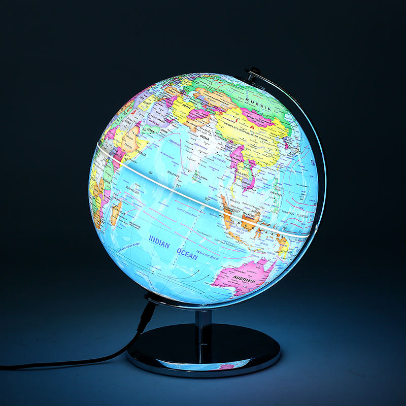

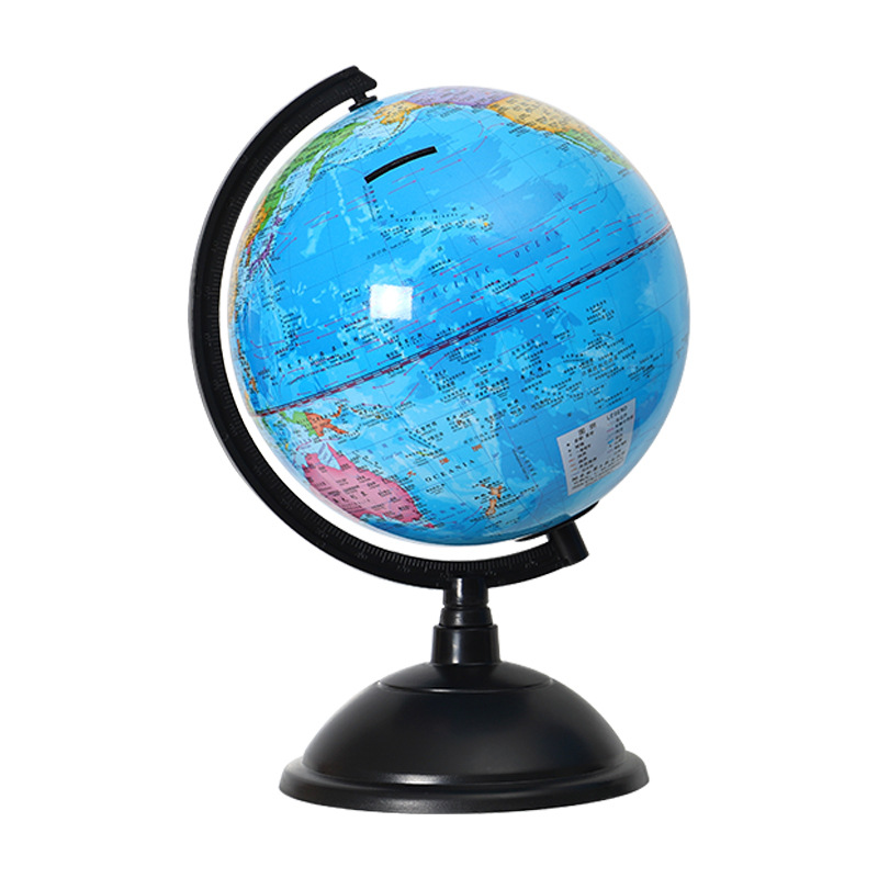
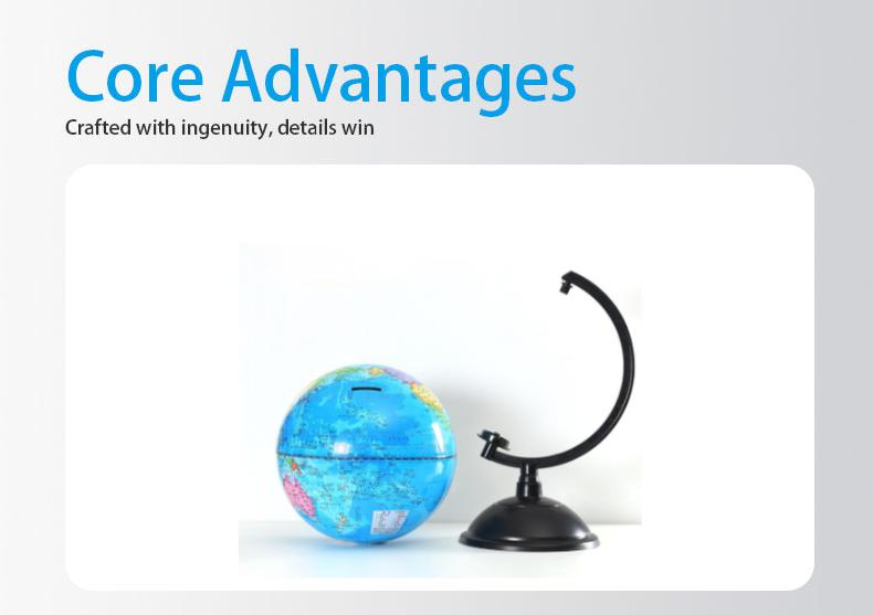
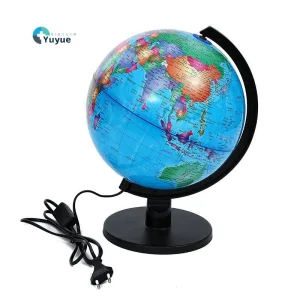
It provides an intuitive and efficient geographic cognition tool for geography educators and learners. Compared with flat maps, its three-dimensional globe can concretize abstract latitude and longitude concepts and geographical regions, helping learners quickly establish spatial cognition of global geography and greatly improving the efficiency of geography learning. The combination of vintage style and practical functions is both educational and decorative, making it a high-quality teaching aid for geographic enlightenment and spatial thinking cultivation.
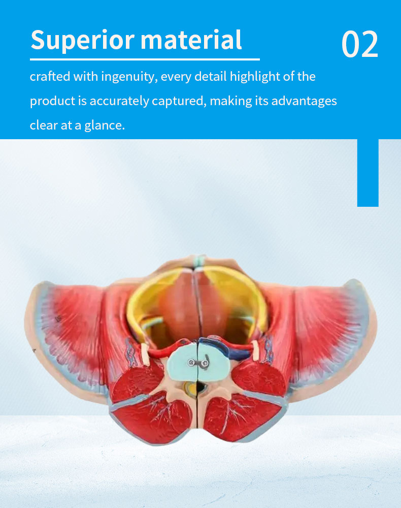
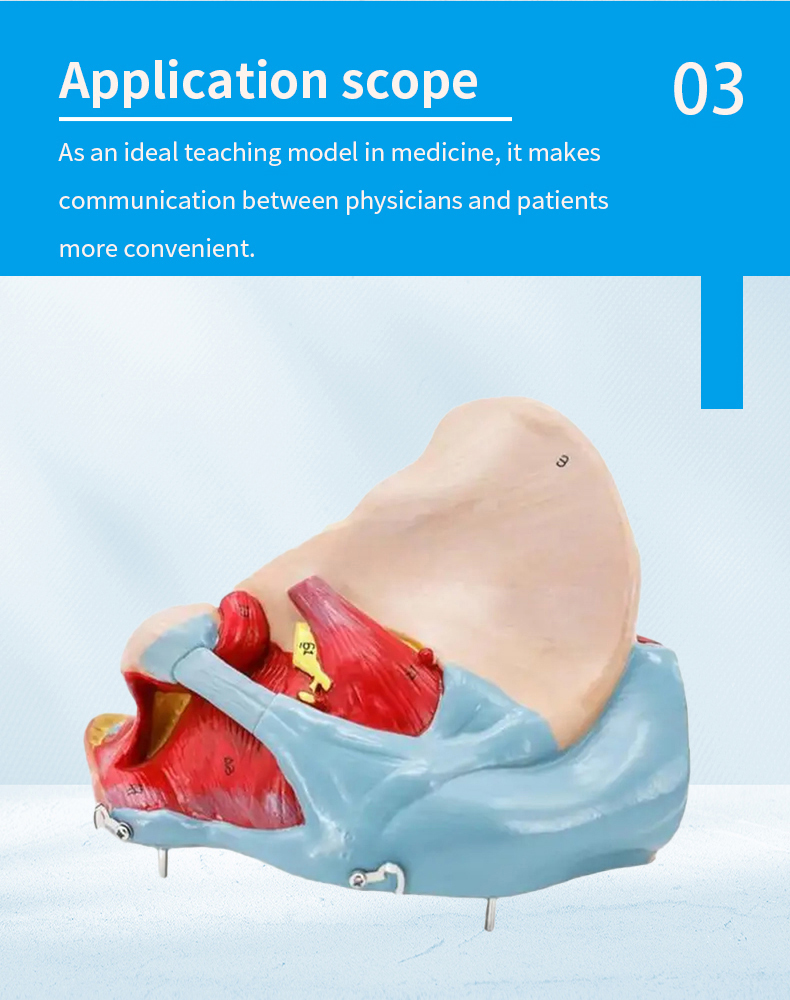
Suitable for geography classes in primary and secondary schools, education and training institutions, family early education scenarios, it can be used in geography latitude and longitude teaching, world regional cognition, geography knowledge competitions, etc. It is also a distinctive decorative ornament in studies and living rooms.
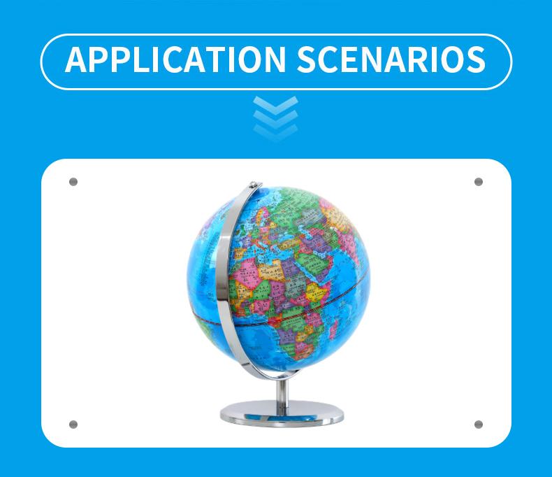
During teaching, teachers or parents can rotate the globe to explain the definition of latitude and longitude and the distribution of geographical regions in turn; organize learners to carry out interactive games such as "coordinate positioning" and "regional identification" to strengthen geographic cognition; when used at home, it can be combined with travel plans and news events to let learners understand relevant geographical knowledge through the globe and gradually cultivate spatial thinking ability.
| Item | Value | Item | Value |
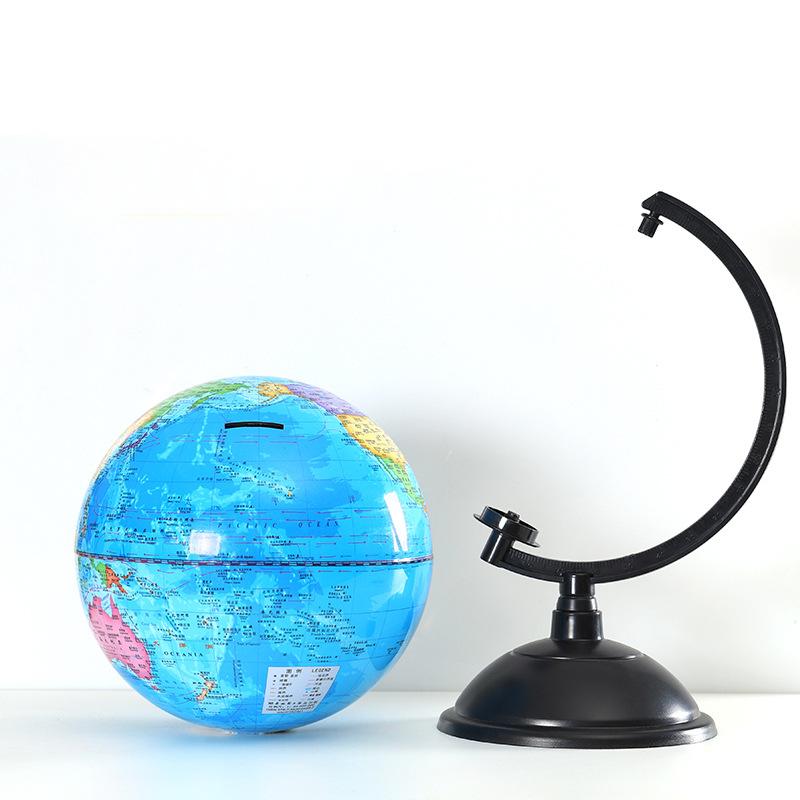
| Place of Origin | China | Product Name | Vintage World Globe with Latitude & Longitude |
| Material | PVC | Model Number | MM-00233 |
| Printing | Digital printing | Size | 44 * 30.5 * 30.5 cm |
| Weight | 1.5kg | Application | Schools, teaching training, decoration |


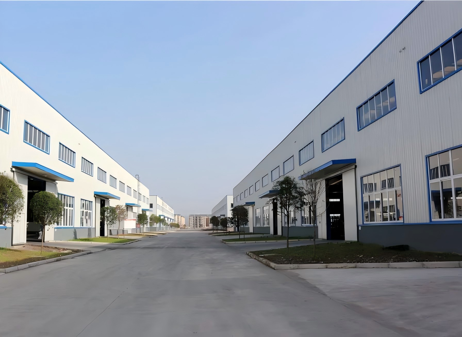
Accurately Recreating the Beauty of Education, Empowering Future Scholars! As a professional company specializing in educational models, we are committed to providing high-quality, detail-oriented models for teaching. Whether it's geography globes, anatomical series, or medical teaching models, our products are renowned for their precision and durability. Choosing reliable teaching tools backed by expertise and trust. Together, let’s illuminate the future of education!
